GIS & Digital Mapping Solutions
Geographic Information Systems, mapping and spatial data consultancy unlocking The Value of Where®

GIS & Digital Mapping Solutions
Mapman provides Geographical Information System and digital mapping consultancy services and solutions – enabling you to unlock The Value of Where®.
Mapman provides the location strategy and systems you need to thrive
Location Strategy
Data-driven organisations understand information, and this understanding lives in the data. This is data you already have in your business systems (e.g. CRMs), your head, spreadsheets, documents, images, and more. All of this data has one thing in common – location.
A Location Strategy is required to manage this data and derive understanding.
Business value: gather, visualise and analyse data, bringing the purpose of GIS - to deliver actionable information - to the forefront.


Geographical Information Systems
Managing data in a structured, organised manner is what a GIS does well. Harnessing your location data enables you to leverage its value. This is done by ensuring your teams and their clients have the most accurate and timely data in their hands.
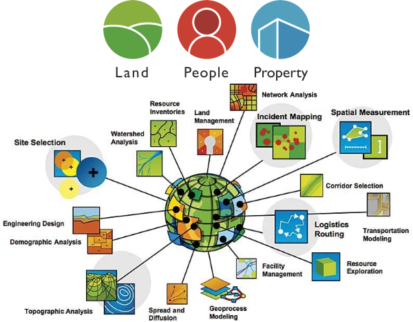
GIS enables organisations to gain deeper insight into key geospatial business data (Land, People, Property) using location analytics.
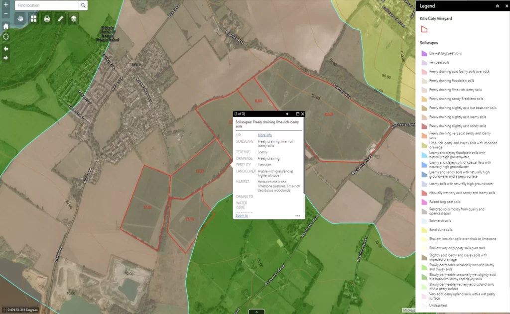
GIS mapping software helps you understand and visualize data to make decisions based on the best information and analysis.
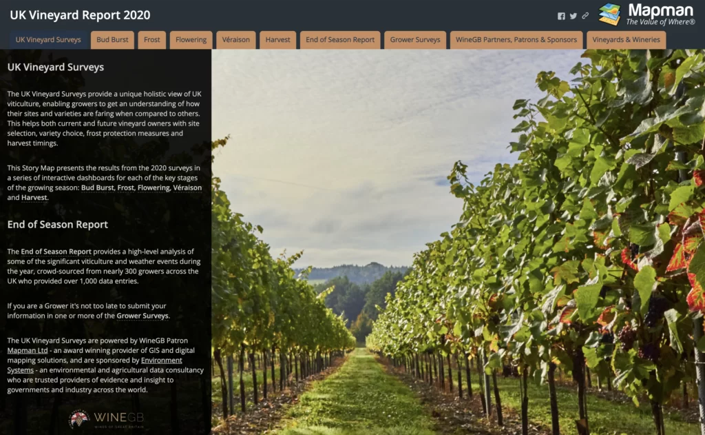
Mapman specialises in Esri's ArcGIS Platform - the world's leading provider of GIS - via the Esri Partner Network.
Some testimonials
...or ask us to create something just for you
The Value of Where®
We use spatial data and analytics to answer high value questions and solve complex, often systemic, problems.
Geography provides a where to the who, what, when and why.
Location, location, location: everything happens somewhere!


