Simplified and detailed versions of the Digital National Soil Map for England and Wales, tailored to provide extensive, understandable and useful soil data for the non-soil specialist.
Mapman provides authoritative soil data from Cranfield University, available in both SaaS and DaaS subscription models. View within a web browser or your organisation’s own GIS (desktop or web), to visualise, query, filter, analyse and report.
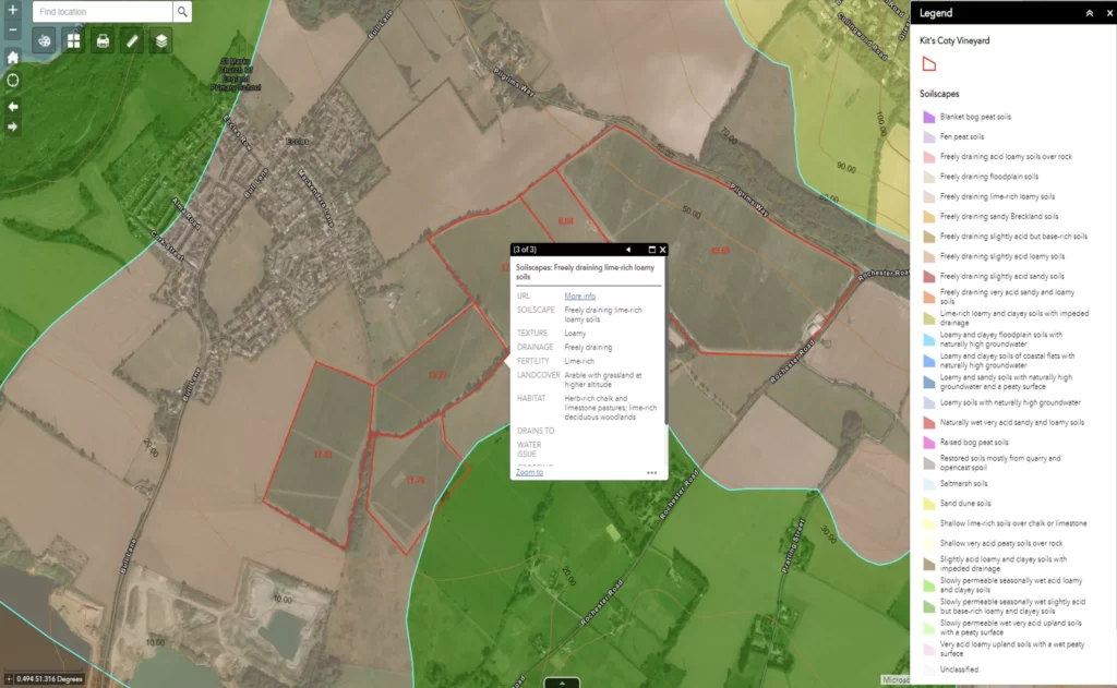
Soil types and other derived datasets (e.g. carbon storage), are fully described with a range of valuable attributes, providing applicable, understandable and, therefore, useful soil information for informed decision-making. These datasets can be used to instantly characterise a site prior to more detailed field work.
Mapman’s SoilData solution helps to understand how the soil affects habitat, fertility, land use, drainage and carbon storage. Descriptive fields are provided for each of these topics – a simple description of the soil with a link to Cranfield University’s detailed Soils Guide is also included.